Phase one · September to December 2026
Two great surveys, 1840 and 1910
The first phase takes the two fullest surveys of the parish, puts every entry into a spreadsheet, and fixes each one to its place on the map.
The tithe survey of 1840
The Tithe Commutation Act of 1836 replaced the parson's tenth of the harvest with a money payment. To share it out, every parish was surveyed field by field. The Pembridge apportionment lists each plot by number with its owner, occupier, name, use and area in acres, roods and perches.
The group photographed every page of the parish copy at the Herefordshire Archive and Records Centre on 22 October 2026. All 1,510 plots are now transcribed, and each holding has been checked against the clerk's own totals wherever he wrote one.
Three copies of the tithe map survive, and they carry three dates. The parish copy is dated 1840, the diocesan copy 1842, and the copy at The National Archives 1841. We give the date with the copy it comes from.
The valuation of 1910
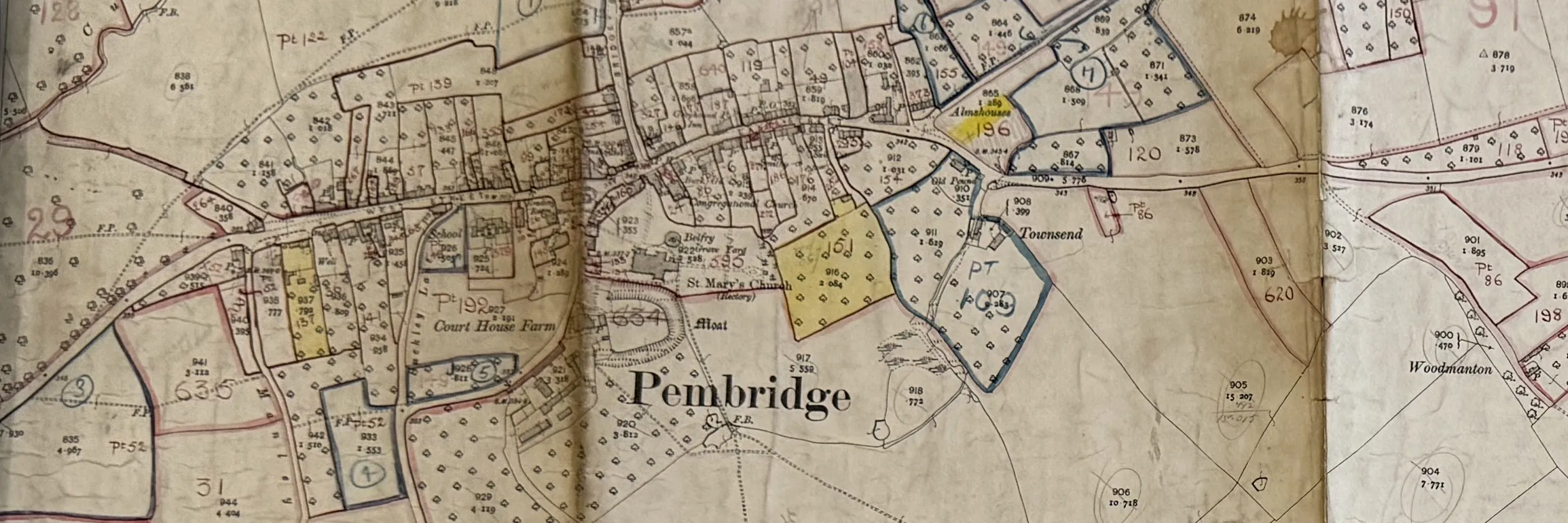
The Finance Act of 1910 set out to tax the rise in land values, and every property in England and Wales was valued to set the starting point. The Pembridge valuation book records each property's owner, occupier, size and value, and the valuation maps outline each one in red ink on the 1904 Ordnance Survey sheets.
373 Pembridge entries from 37 pages are transcribed, with the valuers' figures from the facing pages. Pages 7, 20 and 40 are still to be photographed at the next visit.
Fitting the old maps to today's
The 1910 valuation maps were drawn on the Ordnance Survey's 25-inch sheets of 1904. Pembridge parish falls across several sheets of Herefordshire XVIII, and its northern edge runs onto sheet XI.
Still to come in phase one
Hereford, November
The missing valuation pages, readings to settle against the books, land tax and rate books, and three estate sale papers.
Kew, December
The 1910 field books, which describe every building, and the 1941 farm survey records and maps for the parish.