Get involved
The parish knows things no archive holds
The records tell us who paid the tithe. They don't tell us what the place looked like, who lived in the cottage by the brook, or what the field was called by the people who worked it. That comes from you.
Photographs
Old photographs of the village, its houses, farms and people. We will hold a day in the Parish Hall where you can book a half-hour slot: we photograph or scan what you bring, and you take it home the same day.
Memories
If you remember who lived where, or what a place was used for, we would like to record a conversation with you, at a time and place that suits you.
Reading the records
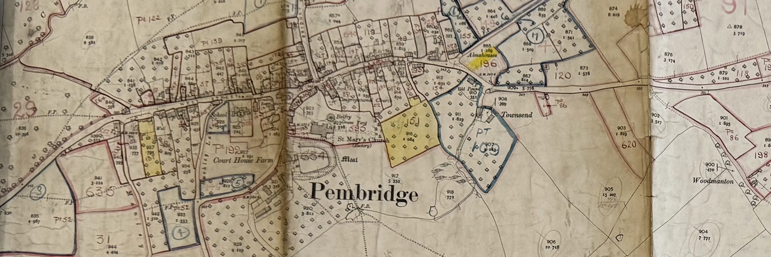
Some of the 1840 and 1910 handwriting is hard going. A second pair of eyes on a difficult name or figure is a real help, and it can be done from home.
Knowing the ground
Field names, footpaths, lost buildings, where the old boundaries ran. People who walk the parish can check the map against what is really there.
Contact
[Contact details to be agreed by the group before this page goes public.]