A village project
Who held each field and house in Pembridge, and how that changed
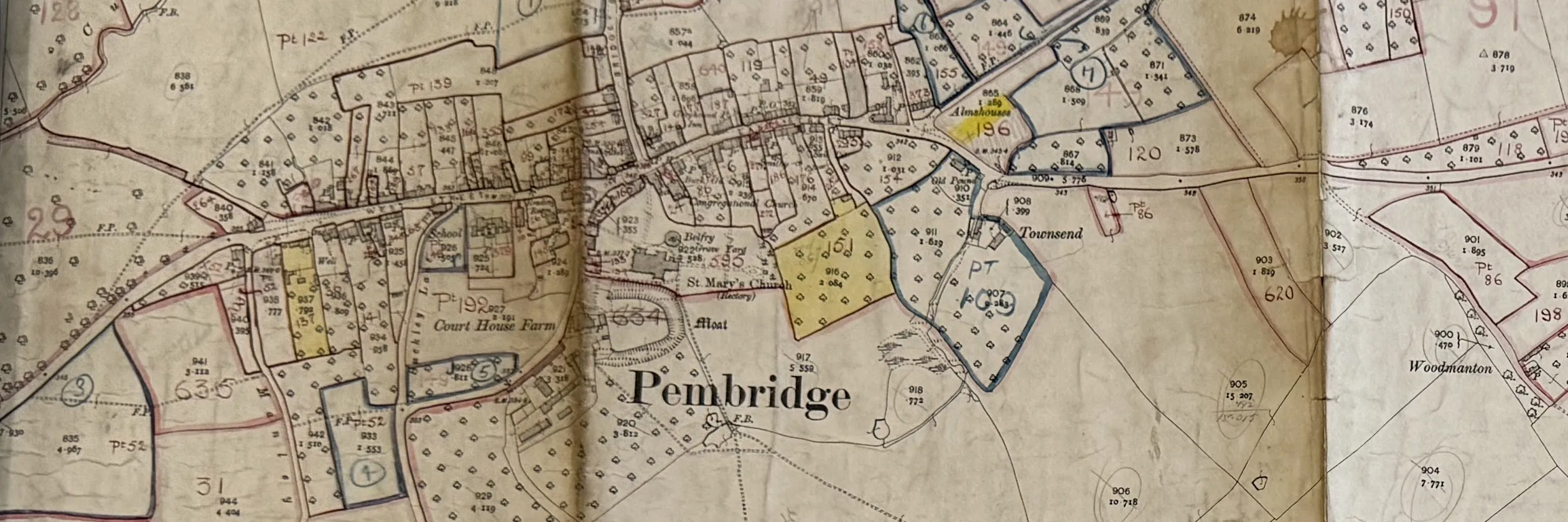
We are building a map of Pembridge parish that you can travel back through. Choose a house or a field, and see who owned it, who farmed it and what it was used for in 1840, in 1910 and in the years since.
The records already exist in Hereford and at Kew. What they need is people who know the parish: to read the old handwriting, to put names to places, and to bring out the photographs and memories that no archive holds. The work so far is shown here as it happens.
What we are making
The map
The parish through time
One map of every field and house, with layers for 1840, 1910, the wartime farm survey and today.
The exhibition
In the Parish Hall
The maps, the documents and the photographs, shown together in the village. Planned for spring 2027.
The book
A free book for the village
Planned: the story of a dozen places in the parish, each followed from 1840 to today.
The record
Kept for whoever comes next
The finished transcriptions and map layers, credited and kept where future researchers can use them.
Where we have got to
Read about phase one or see the progress log.
How you can help
You don't need to belong to anything, and you don't need any experience. We are looking for old photographs of the village and its people, memories of who lived where, and a few people with patience for Victorian handwriting. Find out how to help.